 |
| Ponte Vecchio from the windows of The Uffici |
In the Van Andel Museum in Grand Rapids, which I visited as part of ArtPrize, there is a 20 foot tall topography map of Michigan. I would have stared at much longer if only I had some time. One could quickly see all the high points of Michigan and the low, flat areas that start just south and east of Ann Arbor. I have biked through almost all of the lower peninsula and through some of the upper. I haven't biked east of St. Ignace or much west of Dickinson County. You can see that Gaylord is the high point of a plateau. My ride from Ludington to Reed City was made difficult not only because of a rare east wind and the sandy trails but a steady uphill. The steepest hill I went down ended up in East Jordan. I was in a crowd so I couldn't brake. My odometer clocked 42 mph. I couldn't read it as my eyes were watering. I just hoped for the best.
I did buy a US geological map of our county with its isoalts but it isn't immediately clear if you are ascending or descending unless you look very carefully. I need a three dimensional map where I can feel the hills.
Biking south of Ann Arbor, the only hills encountered are the expressway overpasses, it is so flat.
Today was a slow day. I thought I would have Maya but Naomi must have gotten out of work early. It was rainy most of the day and then it turned to snow. Naomi was here last night making a calendar of Don'tae's family for his mother. I made one today of my trips to Italy. It was fun to do.
I watched too much TV mainly a few episodes of
Boss. Well acted and photograhed but so, so depressing. There isn't a single redeeming character on it.
Satan, your kingdom must come down, indeed.
Some of the Italian pix I included:
 |
| Castelvecchio |
 |
| Confetti in Sulmona |
 |
| Sulmona |
 |
| Duomo in Milano |
 |
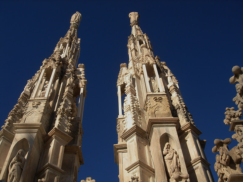
| Gargoyles in Duomo |
 |
| Gagliano Aterno |
 |
| Manarola |
 |
| Monterosso |
The above is Isola Bella in Lago Maggiore outside of Stresa


No comments:
Post a Comment